Monday, November 13, 2006

HOTJ on Tjörnes


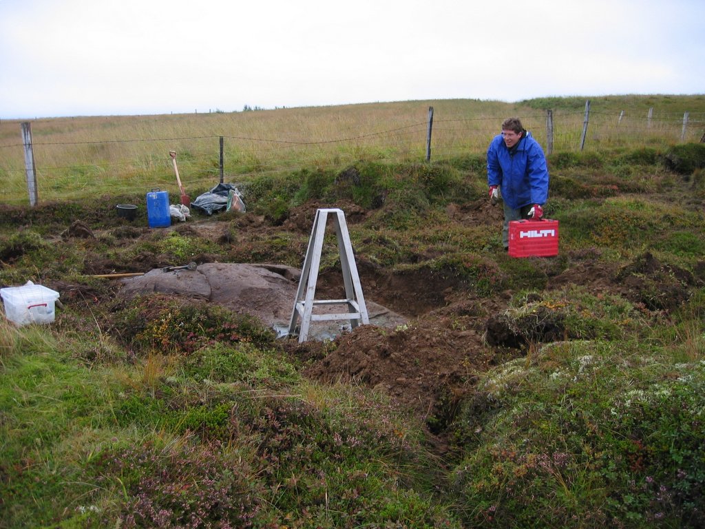
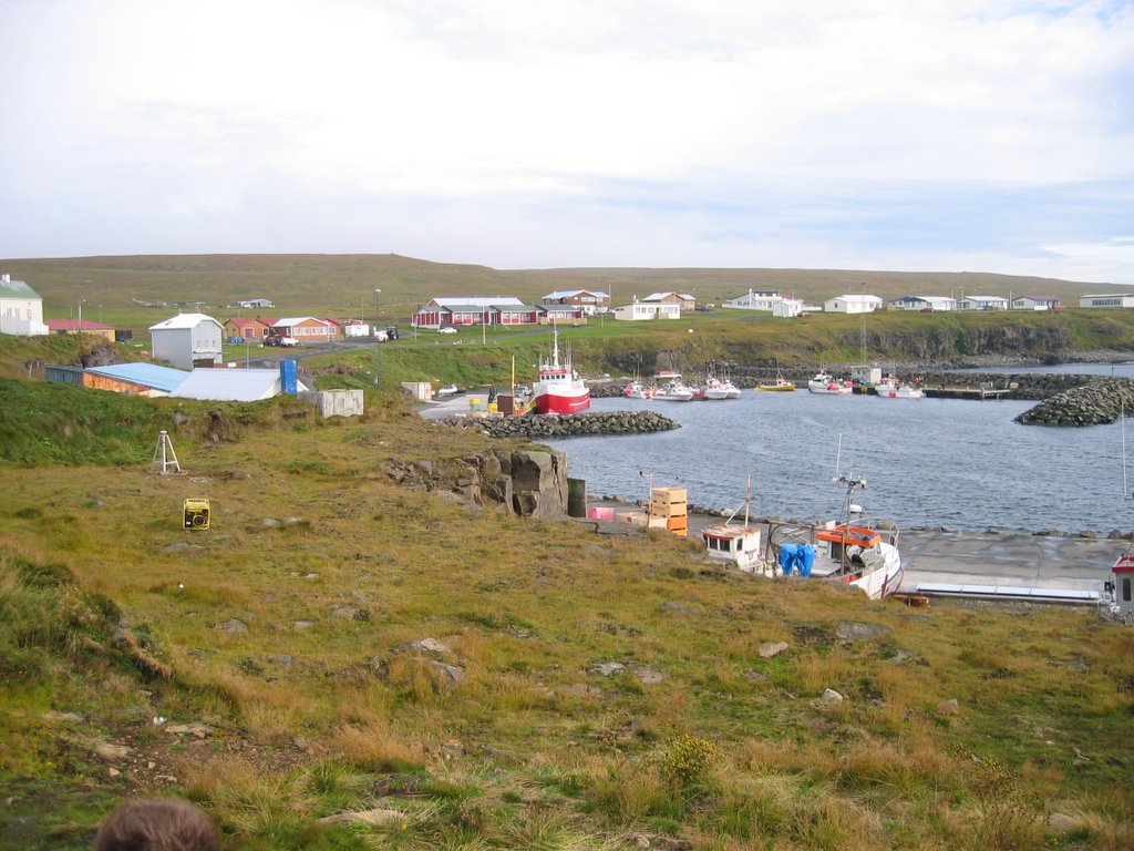
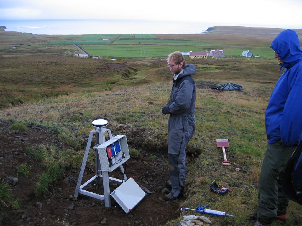
I apologize for dominating the blog during the last few weeks by introducing new stations, but I'm almost done! Here comes the 9th station, HOTJ or Hóll on Tjörnes peninsula. This station is located between the older Árholt (ARHO) and the new Kvíslarhóll (KVIS) stations, between the farms of Hóll and Ísólfsstaðir (66.16167N, 17.24427W). This station gets power from the nearby farm of Hóll via 400m long cable that laid into the ground (not by hand!). This station has been collecting data since 22 September, 2006.

-Sjonni

Friday, November 10, 2006

Hekla sites installed!

During November 6-9 we got 5 sites around Hekla up and running. The monuments were already installed last spring and in this trip we installed the wind generators and the receivers (all NetRS). The sites need to be visited once more to install the communications. The sites installed were MJSK, GLER, NORS, HEKR and HESA (see map). We also installed a monument at BRDK, but that site is (at the moment) planned as a semi-continuous site. A monument was installed at HAUK last week by Þorgils and Judicael. Pete will post the details for each site in the next few sites as he was the photo master of the trip (along with doing the drilling and carrying all the heavy stuff!).
View map.

Monday, November 06, 2006

GMEY on Grímsey Island


I here continue the introduction of the North Iceland CGPS stations and the next in line is GMEY on Grímsey Island (66.53890N, 18.01872W). After spending several hours digging and trying to find bedrock near the IMO seismometer on Grímsey, we gave up and installed the quadrupod on a cliff above the harbour in Grímsey Village. From the quadrupod we laid a 30m antenna cable to a nearby house to where the receiver is kept. Another picture of this station is here: http://isgps.blogspot.com/2006/09/north-iceland-cgps-installation-almost.html

-Sjonni

Friday, November 03, 2006

HEDI on Tjörnes Peninsula


The 7th station to be introduced of the North Iceland GPS network is HEDI on Tjörnes Peninsula (66.08071N, 17.30945°W). This station is located above Héðinshöfði Farm, only about 3 km north of Húsavík and the Húsavík-Flatey fault. The receiver gets power from a seismometer that is also at this location (see the black plastic barrel in the picture). GPS data has been collected at HEDI since 19 September 2006.

-Sjonni